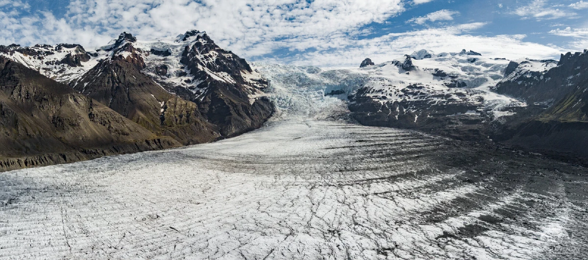
This is the story of the photograph that now fronts the Bird Perspective gallery, and of the twenty-one minutes of flying it took to bring it home.
The whole flight, from launch to landing. Click the pins.
Launch
The morning of 15 June 2024 started at the snout of Svínafellsjökull, an outlet tongue of Vatnajökull that pours down between two black ridges toward the Ring Road. From the moraine you can hear the glacier working: cracks, drips, occasional deep shifts. And you can feel the other thing this valley makes, which is wind. Cold air slides down off Europe’s largest ice cap in a steady katabatic river, straight down the glacier, straight at the launch point.
The Autel EVO II went up mid-morning into exactly that. Flying up a glacier means flying into the air pouring down it; everything beyond the moraine was earned against the headwind.
The push
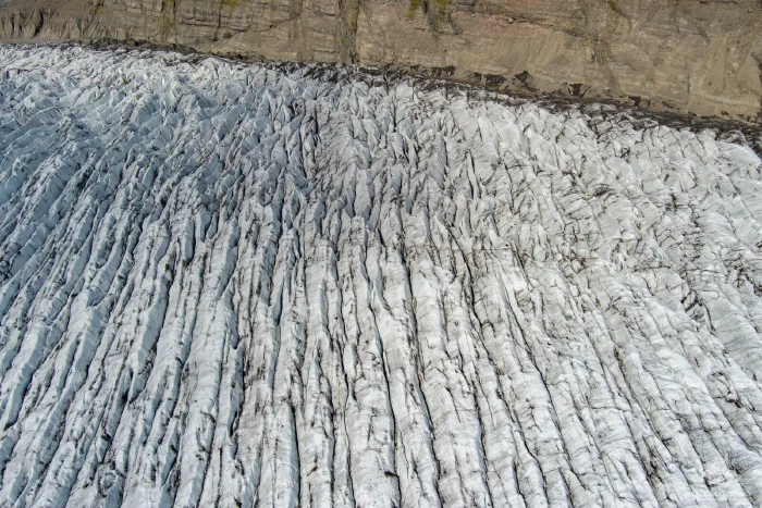
The outbound leg was nearly seven minutes of plain transit, nose into the wind, the ice unrolling underneath: ogive bands curving like growth rings, crevasse fields opening and closing, ash stripes flickering past. On the controller the numbers told a blunter story: ground speed low, distance climbing, and the battery percentage falling noticeably faster than it does on a calm day.
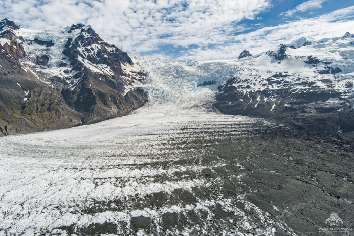
The first stills came 3.5 kilometres from launch. Up here the glacier stops descending and starts arriving: the icefall above, the ridge line closing the valley, the whole tongue visible in one sweep.
The frame
The panorama was made 3.65 kilometres from where I stood, about a quarter-kilometre higher than the launch point. Holding a hover in that wind for the seconds a stitched panorama needs is the drone’s problem, and to its credit it held; the frames align cleanly across the whole sweep.
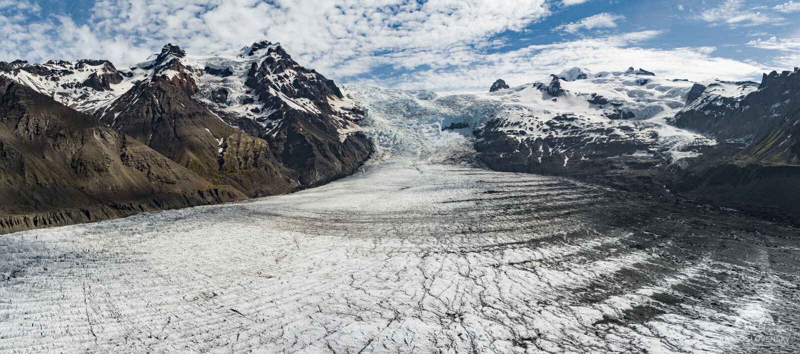
There is a particular calculation that runs in your head at moments like this, and it has nothing to do with composition: distance out, wind direction, percent remaining. The rule of thumb for flying into a headwind is that the way home is cheap: the same river of air that fought the drone outbound would push it back. The rule of thumb is only comforting if you trust it. I took the panorama, two more stills, and turned the nose around.
Running home over the crevasse fields
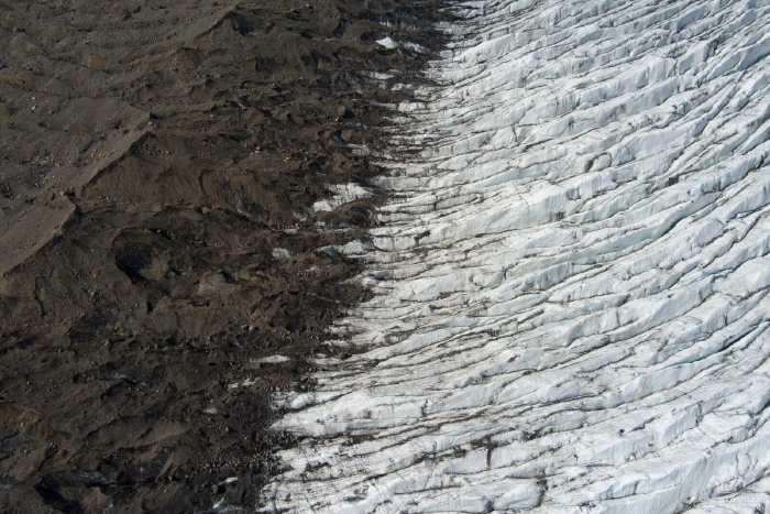
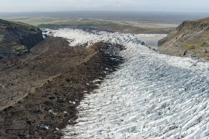
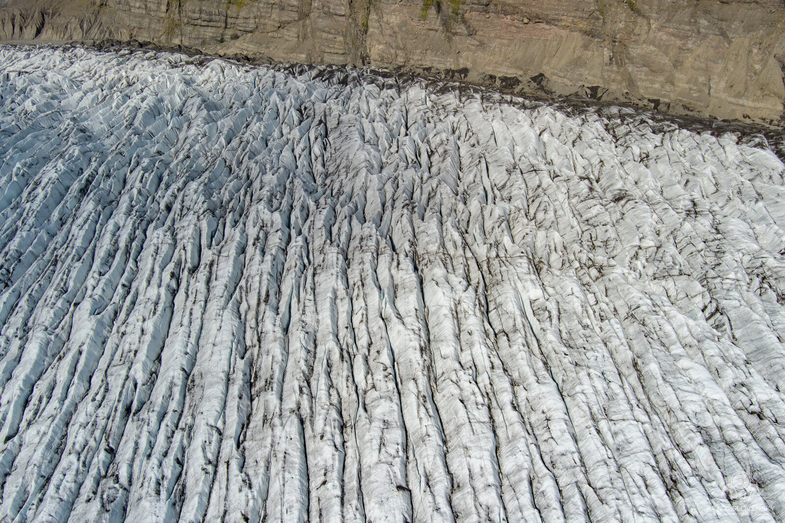
With the katabatic wind on the tail the return was fast, and it turned out to be the most productive part of the flight, with the low sun raking across the crevasse ridges, the diagonal divide where the moraine’s rubble meets clean ice, the tongue fanning out toward its lagoon. Three of the gallery’s frames were taken on this leg, almost casually, while the important number on the controller kept falling.
Landing, with a warning
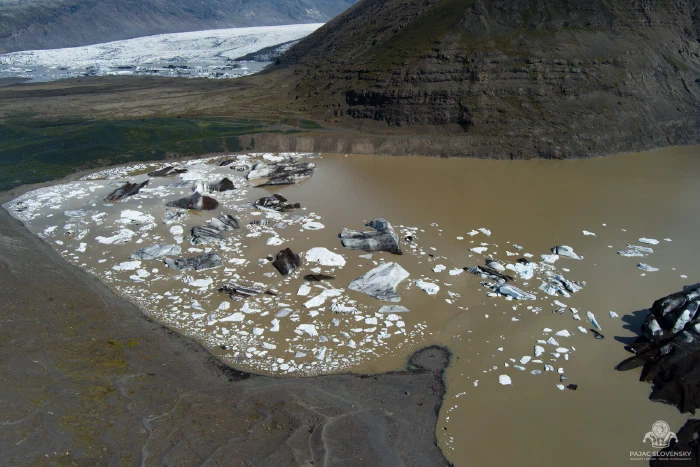
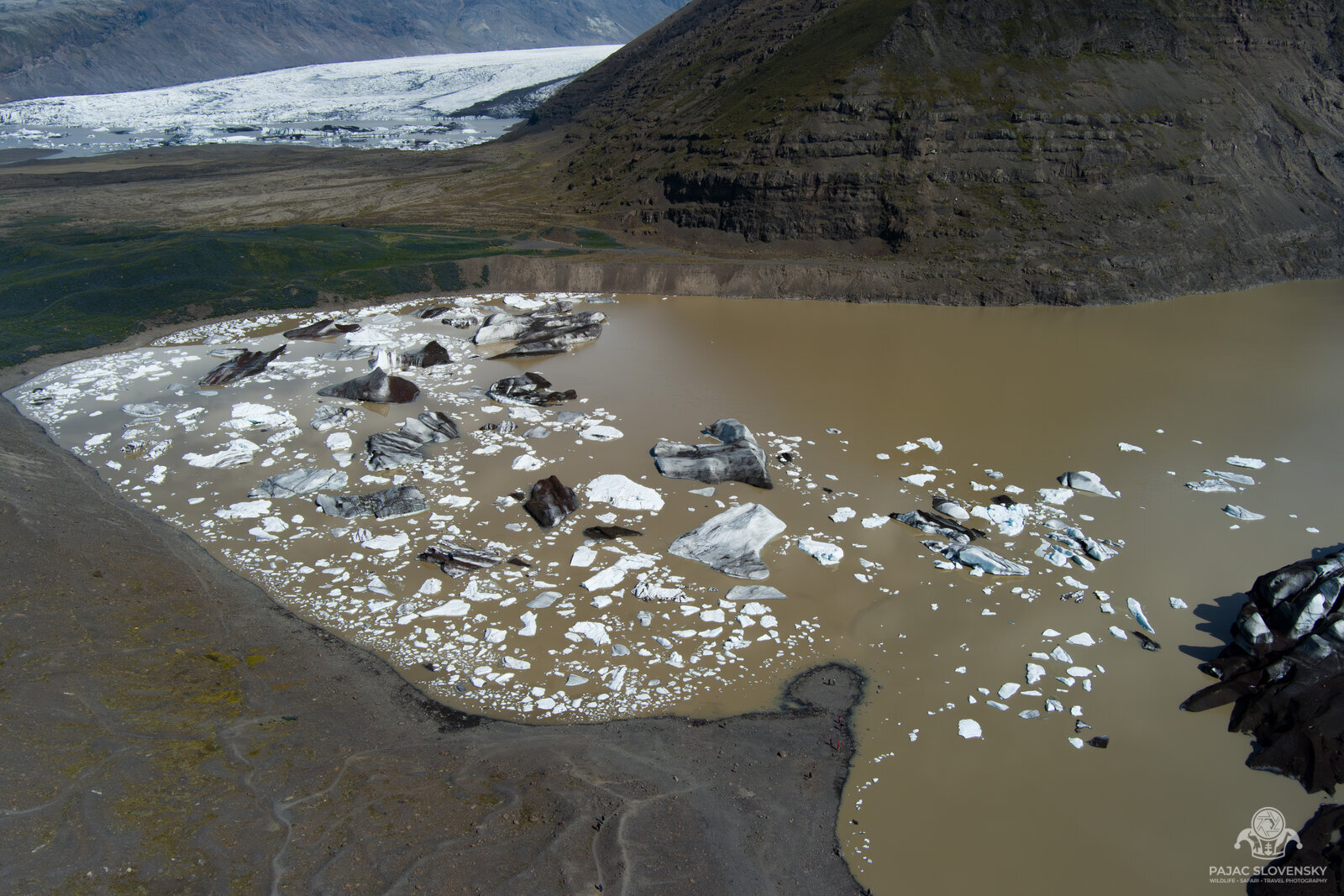
The last frames of the flight look straight down at the meltwater lagoon by the snout, striped bergs scattered on brown water. Then it was on the ground, twenty-one minutes after launch and roughly seven and a half kilometres flown, with the battery warning on and not much margin left. The EVO II is rated for forty minutes in still air; the katabatic wind halved that.
Was the photograph worth flying 3.65 kilometres of headwind over a crevasse field that offers precisely zero places to put a drone down? The honest answer is that you only get to ask that question afterwards, on the ground, with the aircraft back in your hands. The panorama now opens the aerial gallery.
More from this trip
- Bird Perspective, the full aerial gallery this flight belongs to
- The Island That Never Slept, the two-week Ring Road loop around this morning
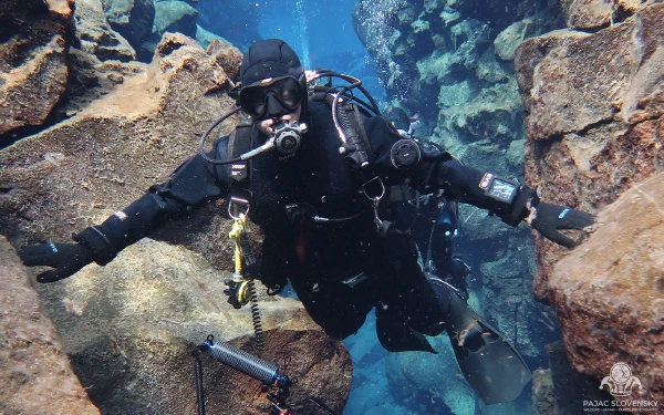
- Between Two Continents, the same trip’s other way of flying: diving the Silfra fissure
Flown on the morning of 15 June 2024 over Svínafellsjökull. Photographs in the text open in the viewer.