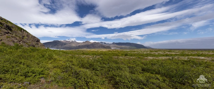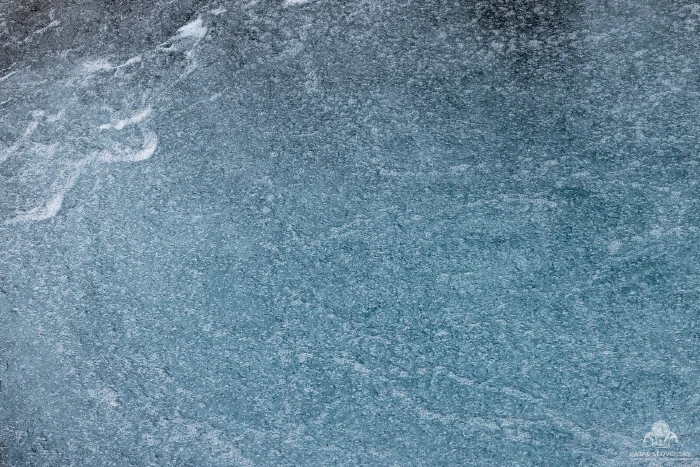
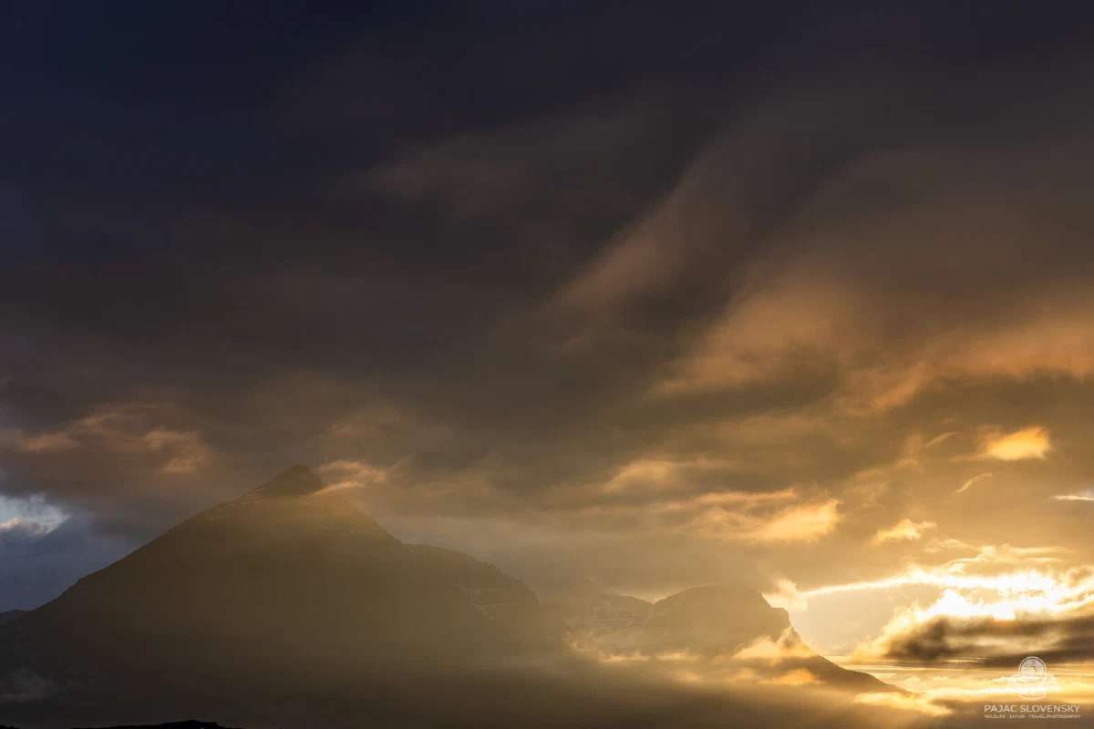
In February, photographers come to Iceland to chase the dark. In June, you come to escape it. For two weeks this June I drove the Ring Road clockwise from Keflavík, and in all that time I never once saw a proper night. The sun would dip toward the horizon around midnight, hang there sulking in a wash of orange, and climb straight back up. My tent glowed pink at 2 AM. I stopped wearing a watch and started reading the day by hunger instead of light.
Click a pin to browse photos from that stop — each one links through to the matching gallery.
First Steps on the Reykjanes Edge
The trip was supposed to begin softly — a long travel day through Vienna, then a recovery morning at the Blue Lagoon. Iceland had other ideas. Since 29 May the Sundhnúkur crater row had been erupting a few kilometres from the lagoon — the fifth eruption on the Reykjanes peninsula since December 2023, and the most powerful of them — and its lava had already buried Grindavíkurvegur, the road that normally takes you there. On the very day I landed, a fresh flow cut the road again and the lagoon closed outright. So the first booking of the trip became the last: I moved it to the final day and drove off into a peninsula where the ground itself still feels unfinished. Fresh fields of rope-lava, faint sulphur on the wind, steam rising where there was no fire to explain it — except that this June, for once, there was. Reykjanes is Iceland introducing itself: the land here is not done being made.
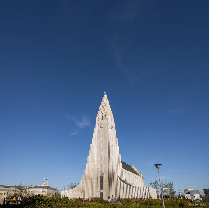
By evening I was in Reykjavík, standing under the great ribbed spire of Hallgrímskirkja while the low sun turned the concrete gold. A capital of a hundred thousand people, and beyond its last streetlight, nothing but the open island.
The Golden Circle
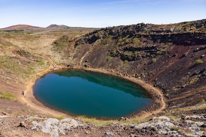
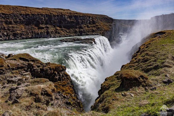
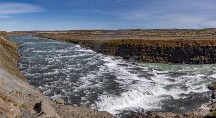
The classic loop earns its fame. Kerið came first — a 3,000-year-old crater with a lake the colour of oxidised copper cupped inside red-black walls. Then Gullfoss, where the Hvítá river folds twice and vanishes into a gorge in a permanent cloud of its own making; you feel it on your face long before you reach the railing. A few kilometres away, Strokkur clears its throat every few minutes and throws a dome of boiling water twenty metres into the air, and the whole crowd inhales at once.
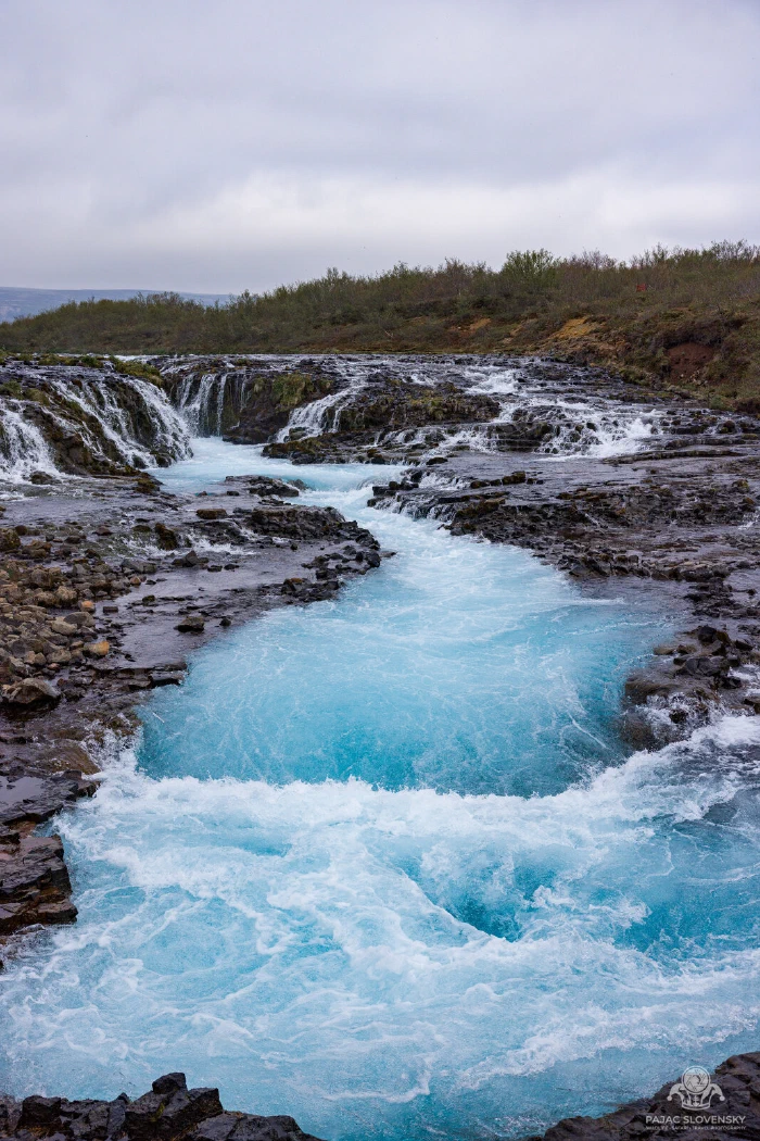
But my favourite was the one you have to work for. Brúarfoss hides at the end of a long riverside walk, and it pays you in a blue I have never managed to photograph honestly — a saturated glacial turquoise braiding over black ledges, too electric to look real on the back of the camera.
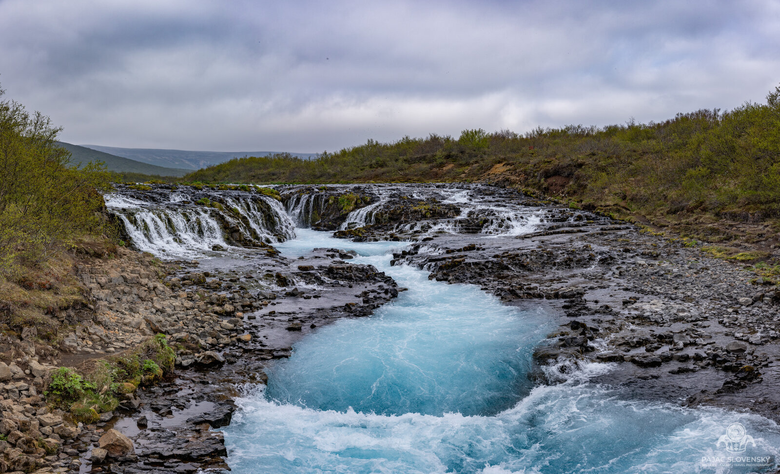
Iceland keeps its best colours in its coldest water. You learn to trust the histogram over your own disbelief.
Between Two Continents
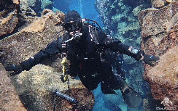
Day four I traded the camera bag for a drysuit and a tank. Silfra is a flooded fissure in Þingvellir where the North American and Eurasian plates are slowly pulling apart, and the water — glacial meltwater filtered for decades through porous lava — has a visibility of over a hundred metres. Diving it feels less like swimming and more like flying through liquid glass, one glove on Europe, the other on America. The big camera stayed on shore; a GoPro rode along instead, and the guide caught the obligatory arms-out moment between the plates. That dive earned a story of its own.
The South Coast
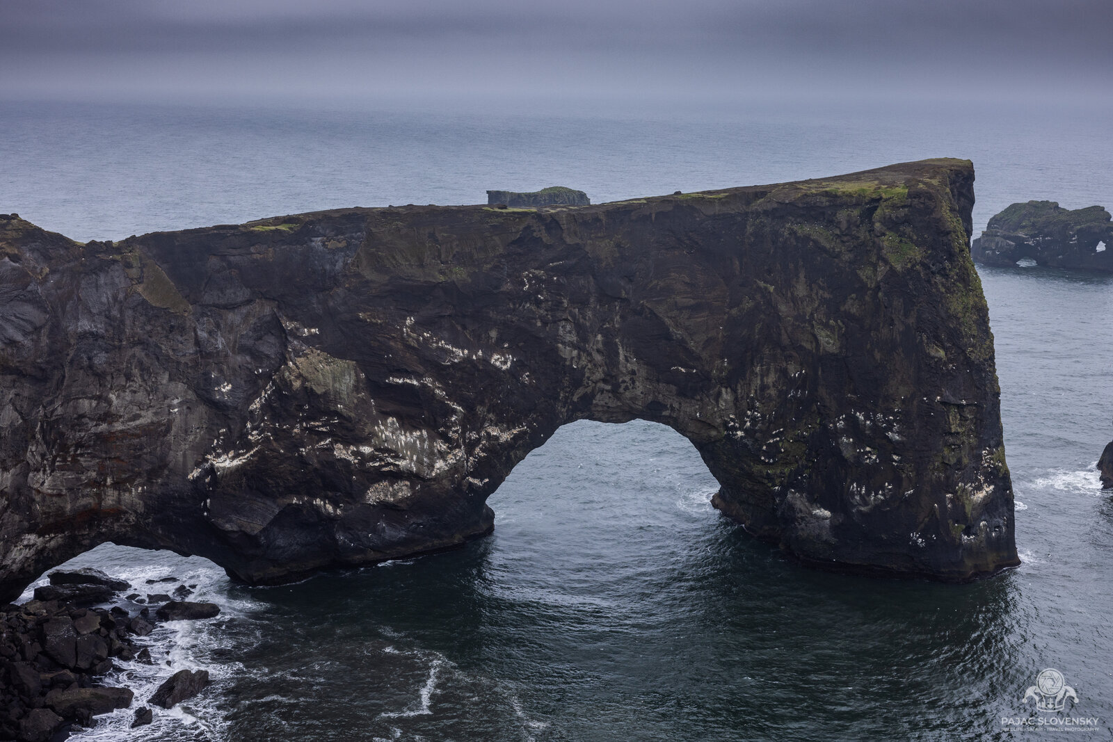
Then the coast turned dramatic. Gljúfrabúi first, a waterfall hidden inside its own slot canyon, spray filling the chamber like weather. Skógafoss dropping a clean sixty metres with a rainbow parked at its foot; the skeletal DC-3 wreck marooned on the black desert of Sólheimasandur; the basalt arch of Dyrhólaey framing the surf. At Vík the beach is made of black volcanic sand and the sea comes in cold and fast, and there are signs everywhere about sneaker waves that you would be a fool to ignore.
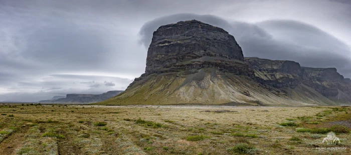
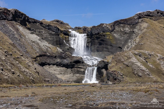
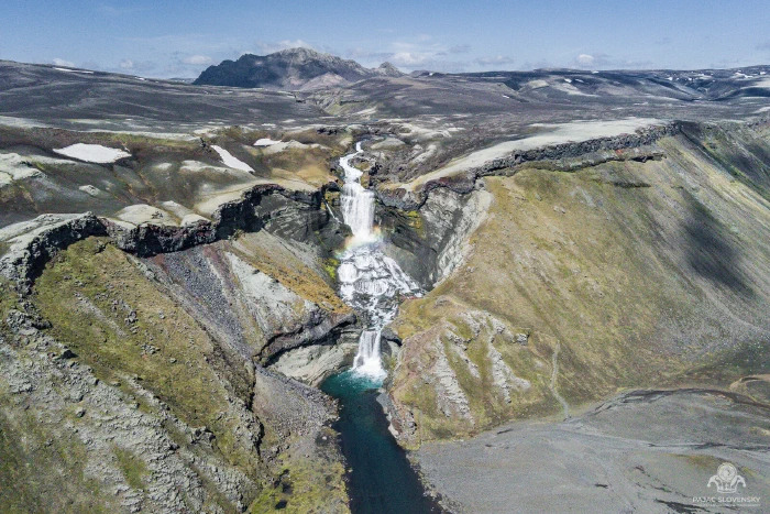
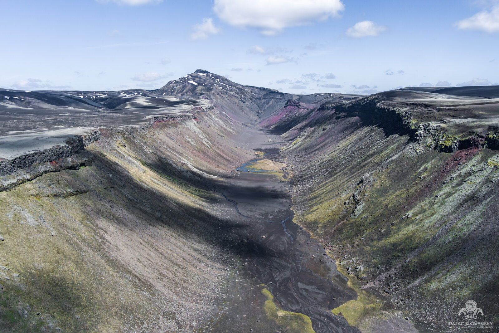
Inland the land grew stranger still — the mossy lava fields of the Katla Geopark, soft and green and utterly silent, and the switchbacking gorge of Fjaðrárgljúfur. Further east I turned up into the highlands toward Eldgjá and Landmannalaugar, where the rhyolite mountains are streaked in ochre, rust and green like something spilled from a paint tin.
Eldgjá is the largest volcanic canyon on Earth — a thirty-kilometre gash torn open in a single eruption in the 10th century — and its scale only resolves from the air. I launched the drone into a stiff highland wind and let it climb until the whole fissure fell into frame: maroon and moss-green walls dropping to a braided black river, with the twin ribbons of Ófærufoss threading down one side under a broken rainbow.
Glacier Country
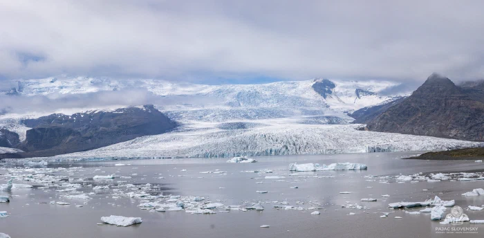
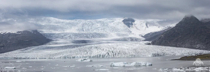
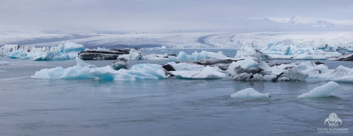
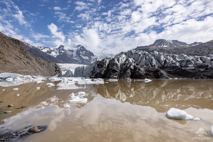
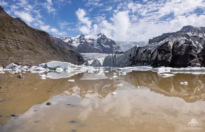
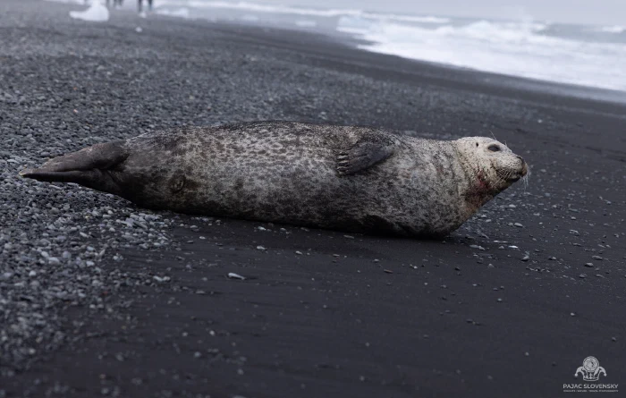
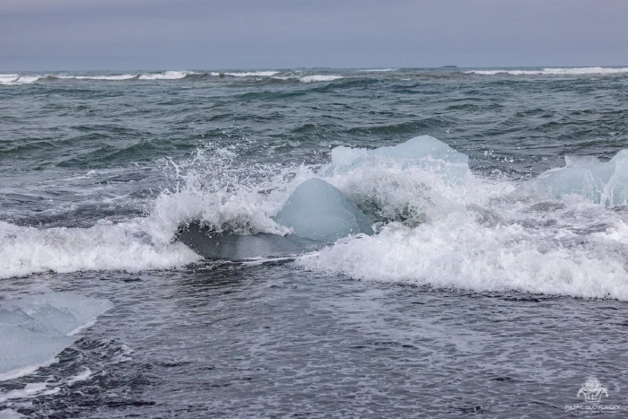
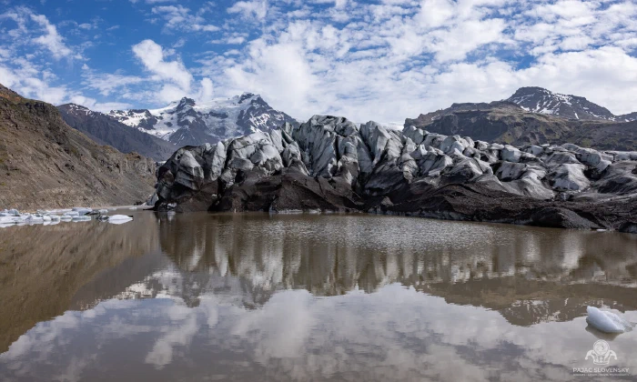
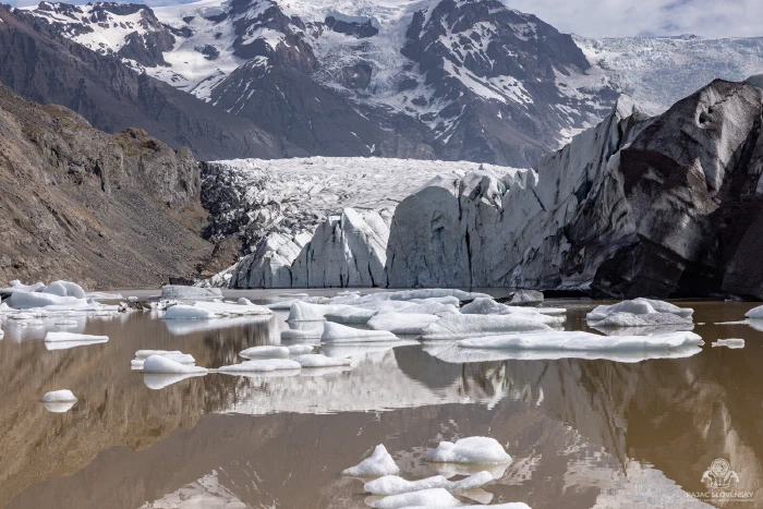
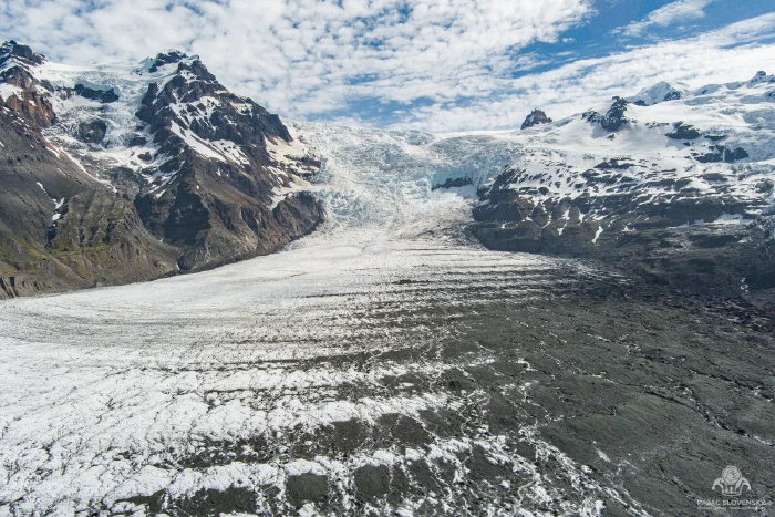
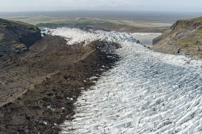
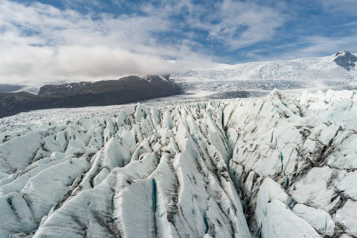
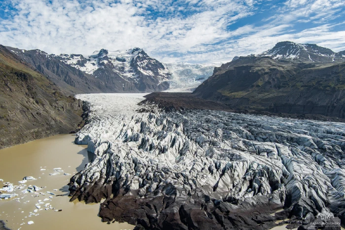
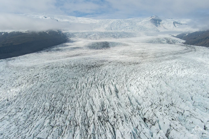
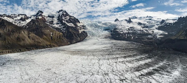
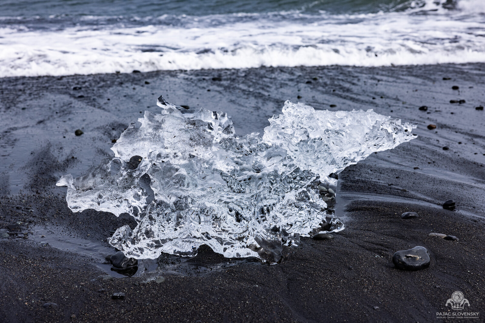
Nothing prepares you for the glaciers of the southeast. At Svínafellsjökull and Fjallsárlón I stood at the foot of the outlet tongues of Vatnajökull, the largest ice cap in Europe, as they calved slow bergs into lagoons of grey meltwater. A little further along, Jökulsárlón opens out — a whole harbour of blue-and-white icebergs turning silently on the tide, some the size of small ships, with harbor seals riding the current between them and hauling out on the black pebbles like fat commas. Down the road at Diamond Beach, those same bergs wash back ashore and strand on the black sand — house-sized lumps of thousand-year-old ice, polished by the surf into translucent sculpture. I spent a whole morning on my knees there, waiting for the light to pass through a single shard.
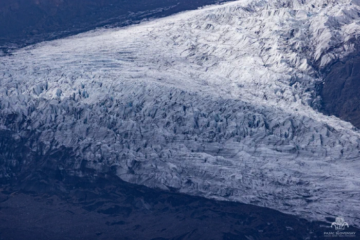
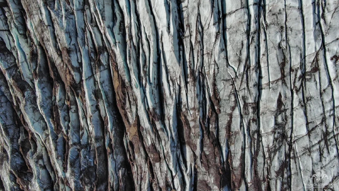
This was also where the drone earned its keep. Seen from above, a glacier stops being scenery and becomes a diagram of itself — crevasse fields ribbed like wood grain, dark moraines drawn in charcoal, meltwater pooling in impossible emerald.
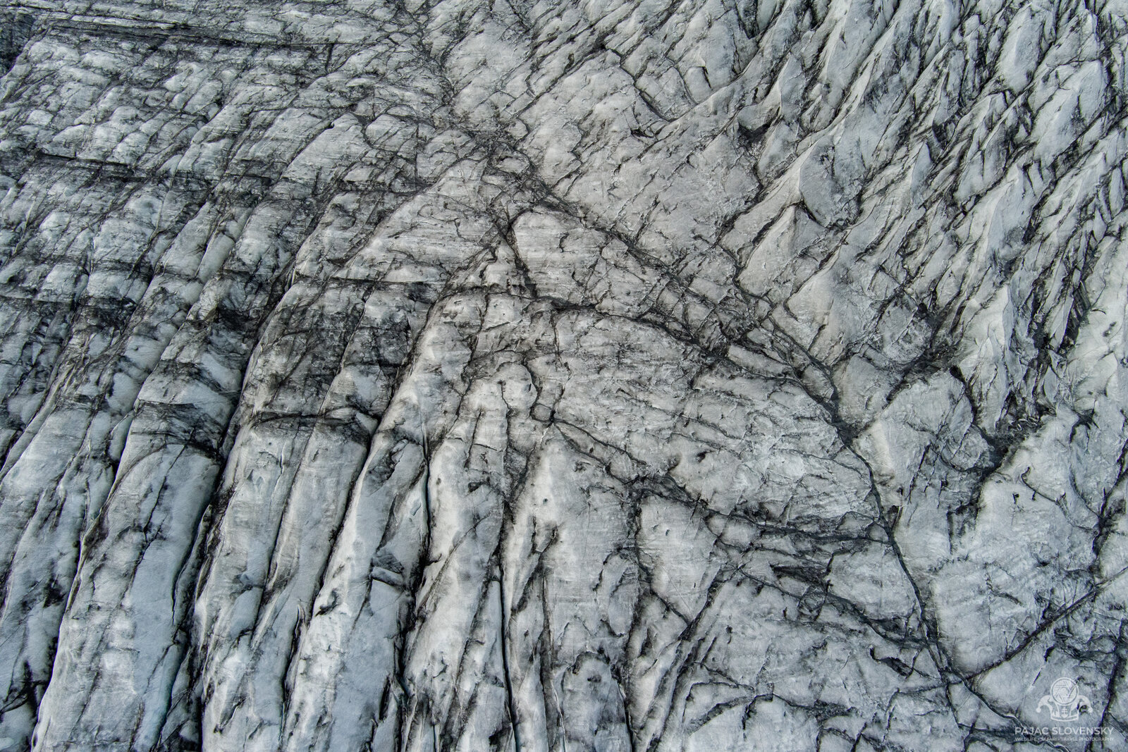
Flying the ice taught me to read it. The parallel furrows are ogives, one pair laid down for every year the glacier flows; the grey smears are ash from eruptions the ice swallowed and is only now surrendering; the meltwater finds the deepest crevasse and pools there in a green so intense it looks lit from within. From the ground you simply cannot see any of it — the bird’s-eye frames became a body of work of their own, gathered into the Bird Perspective gallery.
East, and the Basalt Amphitheatre
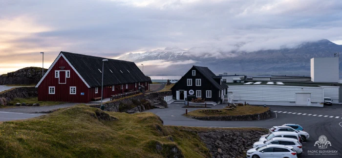
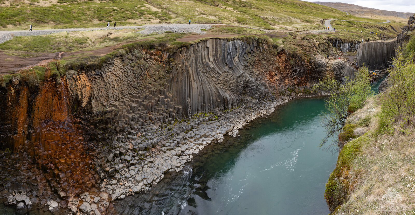
The eastern fjords are the Ring Road’s quiet chapter — sleeping harbours, Stokksnes and its black dunes under the Vestrahorn, a night in the fishing village of Djúpivogur, a swim at the Vök Baths floating out on a lake. Then Stuðlagil, a canyon I’d waited years to see: a river the colour of milky jade running between walls of perfectly hexagonal basalt columns, curved into a natural amphitheatre. I had it almost to myself for an hour, which in modern Iceland feels like a small miracle.
The North
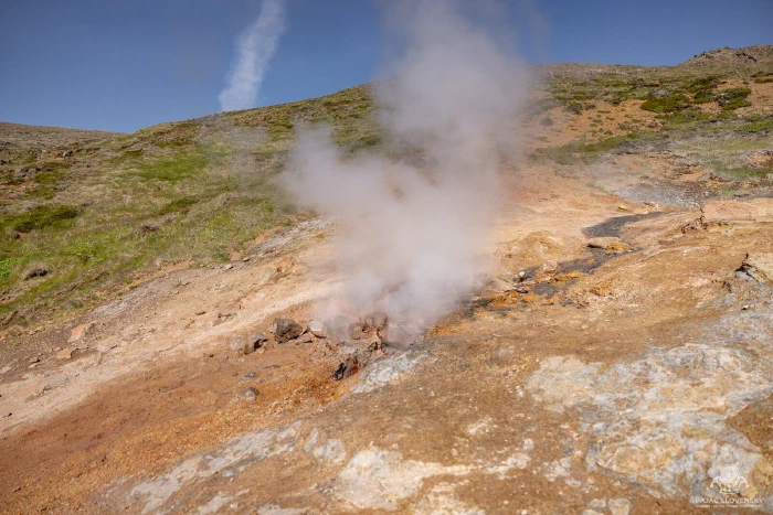
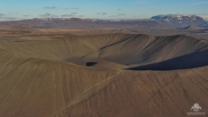
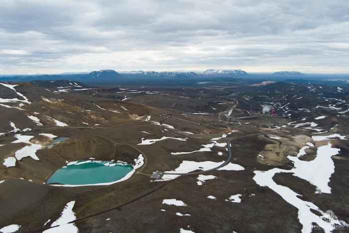
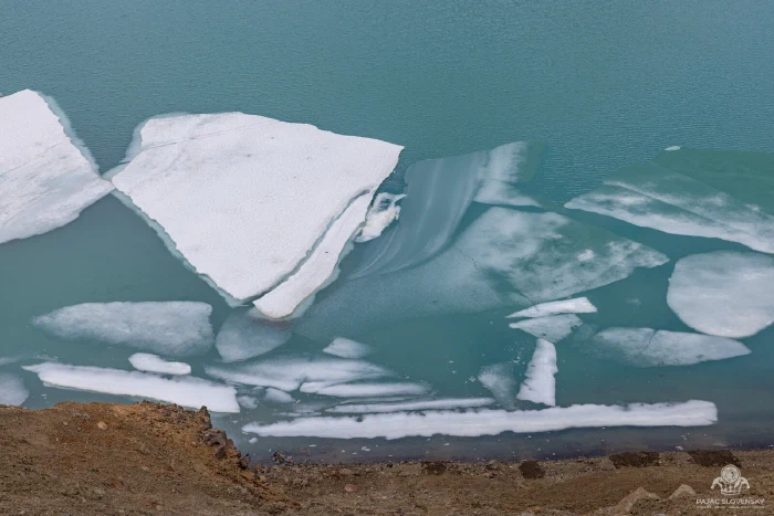
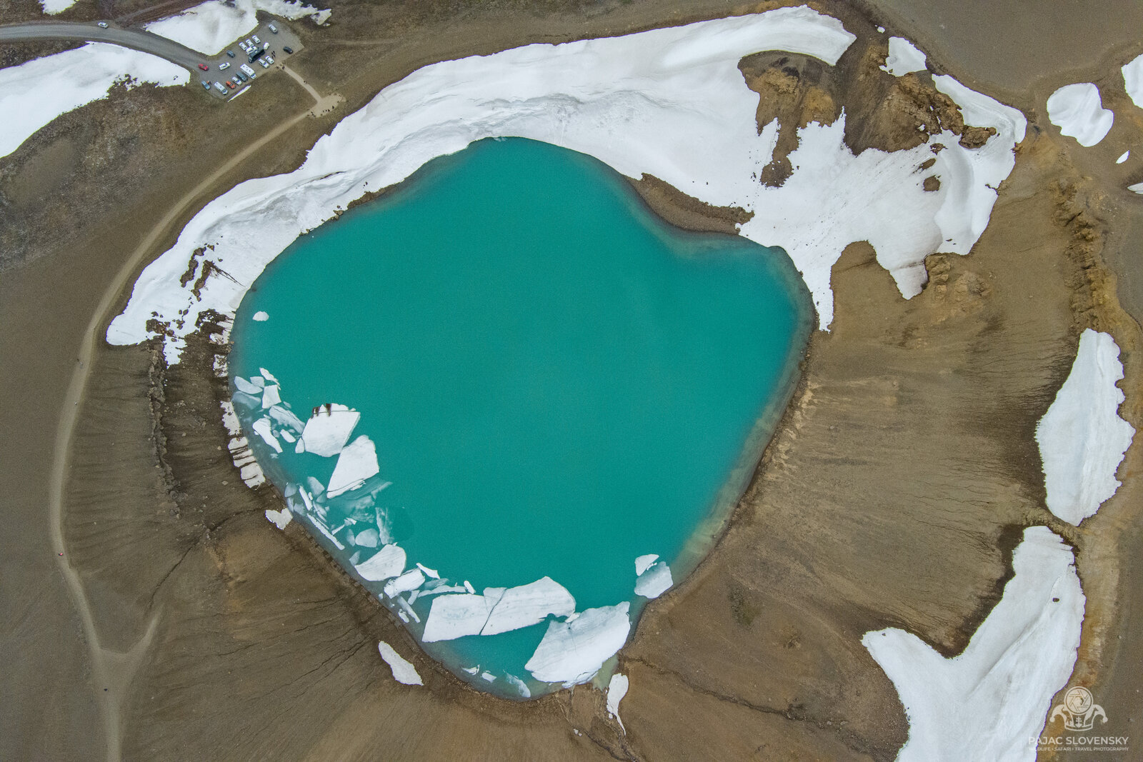
The north is where Iceland turns up the volume again. Dettifoss, the most powerful waterfall in Europe, so loud it arrives as a vibration in your chest before you see the spray. The horseshoe amphitheatre at Ásbyrgi. The boiling, hissing, sulphur-yellow mud pots of Hverir. Around Lake Mývatn the earth is openly geothermal — I hiked the rim of the Hverfjall tephra crater, a near-perfect ash ring a kilometre across, then climbed to Víti at Krafla, a crater cradling a lake of unreal milky turquoise still holding rafts of drifting ice in June.
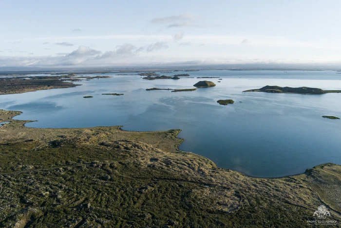
Mývatn rewards the drone as much as the ice did. The lake is dotted with pseudocraters — little green cones that formed when lava flowed over wet ground and flashed it to steam — and from above they scatter across the shallows like islands on an old map. Overhead, Víti is at its best: a perfect turquoise disc set in rust-red earth, the last winter ice still turning slowly on its surface.
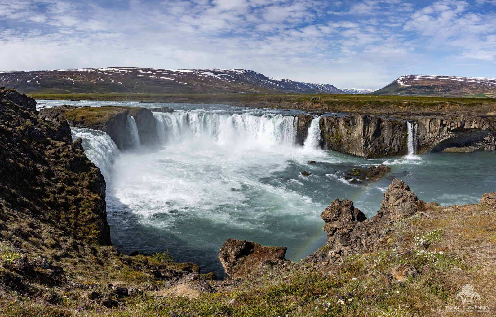
And then Goðafoss — the “waterfall of the gods,” a wide blue horseshoe where, legend says, a chieftain threw his pagan idols into the water when Iceland turned to Christianity in the year 1000. I stayed until well past eleven. The sun never set. It just leaned along the top of the hills and kept the whole scene lit in that endless amber that only exists up here at the edge of the Arctic.
That whole day behind the wheel is on film, in real time: the run from Mývatn out to Goðafoss and back, then over the Námaskarð pass and up to the Víti crater at Krafla. Ninety-three minutes of road with the original engine sound, live gauges and a route map on screen:
Whales, and the Long Way Home
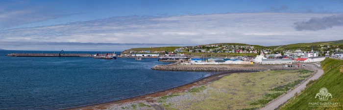
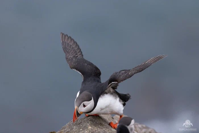
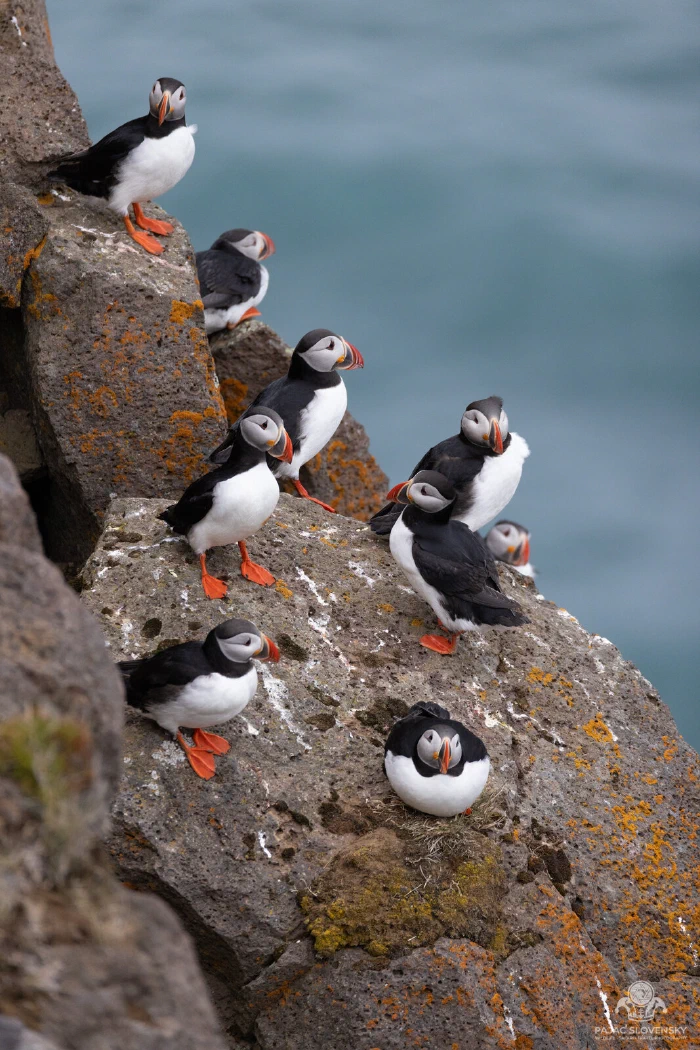
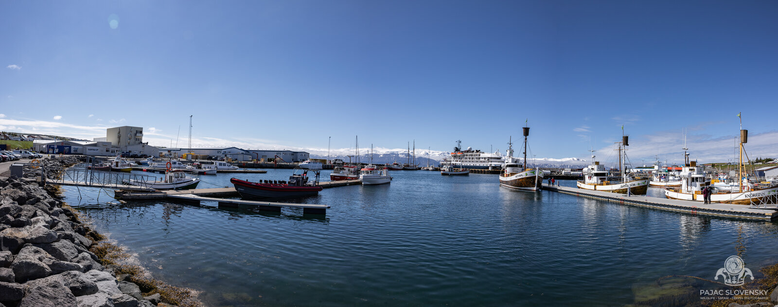
The trip’s last real day belonged to the sea. Out of Húsavík — the whale-watching capital of Iceland — an old oak schooner took us into a flat, silver bay, and within the hour a humpback surfaced beside the hull, exhaled a column of mist that hung in the cold air, and slid its fluke up and under. Nobody spoke. Even the engine had been cut. On the sea cliffs the puffins were in full season, whirring in from the water with beakfuls of sand eels, ridiculous and dignified at once.
The Lagoon, at Last
The debt from day one came due on the very last day. After the long drive back west along the north coast, I turned onto Reykjanes one final time — and drove straight past the junction I would have used two weeks earlier. Grindavíkurvegur was still gone, buried under a fresh lava field that was cooling and steaming behind the barriers, so the only way in was the temporary detour: west along Nesvegur (Route 425), then up the little Route 426 to a security checkpoint, where a patient guard checks that you actually hold a Blue Lagoon booking before waving you through between the earthwork berms.
I put a camera on the dashboard for that drive — it is not every day that the road to a spa detours around an active lava flow:
And then, at last, the soak that was meant to open the trip closed it instead: milky-blue water against black lava, steam drifting off the surface, and somewhere beyond the protective walls the crater row that had rearranged my itinerary, still faintly smoking. The eruption officially ended on 22 June, the day I flew home.
Two weeks, one loop, roughly three thousand kilometres, and a memory card I’m still working through. What I brought home wasn’t any single photograph but a recalibrated sense of scale — of a young, restless island still visibly building itself, lit around the clock by a sun that, for those two weeks, simply refused to go to bed.
More from this trip
- Iceland — 47 photographs from the ground: waterfalls, glaciers, black beaches and puffins
- Iceland — Bird Perspective — 41 drone aerials: Vatnajökull’s crevasse fields, Eldgjá, Mývatn and the Víti crater
- Between Two Continents — the day the trip went underwater: diving the Silfra fissure at Þingvellir
- The Farthest Frame — one photograph, 3.65 km of headwind over Svínafellsjökull
The route above follows the June 2024 itinerary. Photographs in the text open in the viewer — click any of them.